


- Accede I
- Regístrate I
- carrito
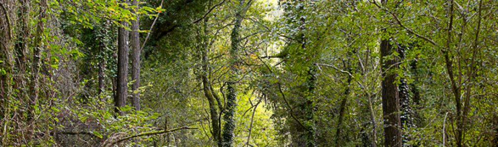

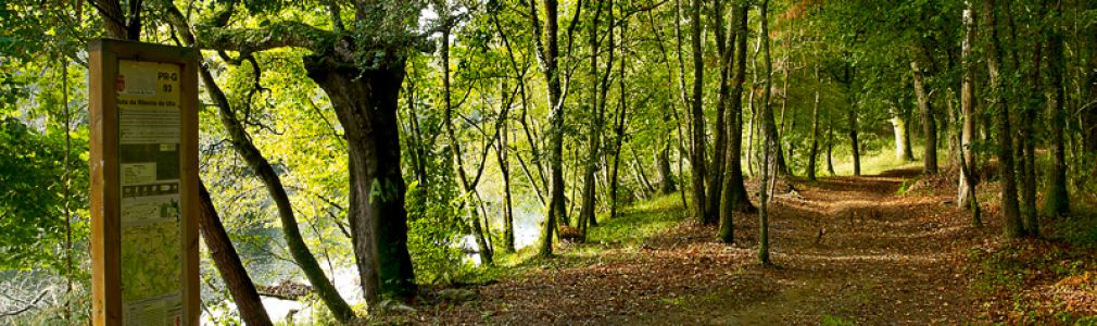

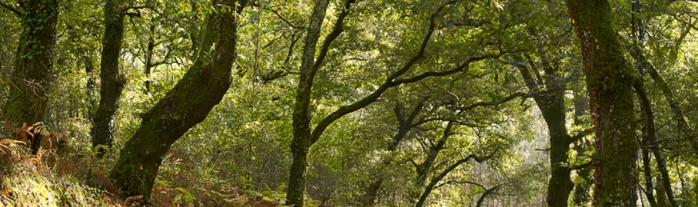

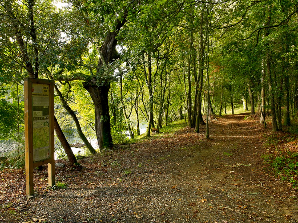
Ruta da Ribeira do Ulla PR-G 93
Esta ruta se desarrolla a través de las parroquias de Novefontes, Fao y Ribeira, todas ellas en el concello de Touro.
Distancia: 15 km
Tiempo: 4 h
Dificultad: baja
Punto de salida y llegada: Ponte Basebe / Pozo do Pego
Circular: no
Se trata de un recorrido de unos 15 kilómetros, donde destacan varias etapas con paradas importantes:
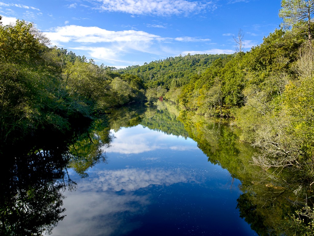
• Ponte Basebe: La carballeira ("robledal") y el remanso de agua del Ulla que encontramos al iniciar la ruta turística constituye uno de los lugares más destacados en cuanto a zonas turísticas del todo el concello de Touro.
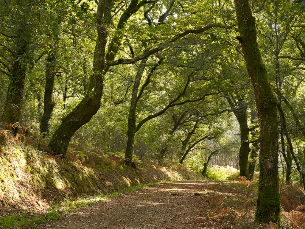
• Sobreiral ("alcornocal") do Ulla: Aproximadamente a 3 kilómetros del comienzo de la ruta encontramos un conjunto de alcornoques de 400 metros de longitud.
• Fervenza ("cascada") do Inferniño: Aproximadamente en el kilómetro 4 se localiza uno de los puntos de belleza natural más destacados de esta ruta.
• Ouriceiras: Otro elemento muy destacable es el conjunto de ouriceiras (cercado de piedras donde se echan las castañas a secar) que podemos encontrar a lo largo de todo el camino.
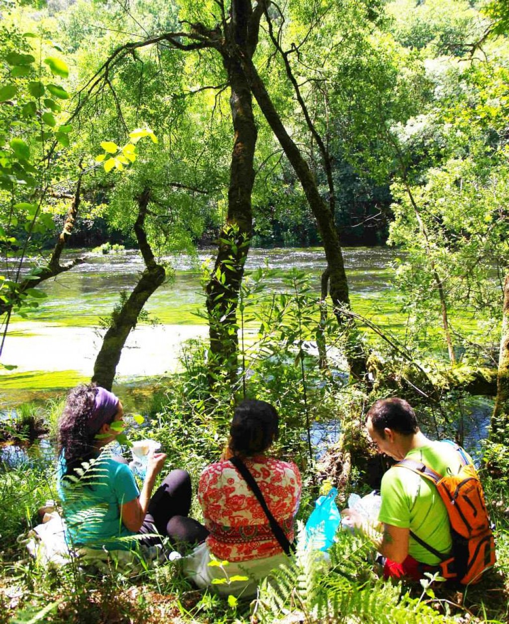
• Bosque do Pego: Se discurre por él a partir del kilómetro 8 aproximadamente. La frondosidad y la gran extensión que ocupa, con especies autóctonas y bien conservado, hacen que sea considerado como un enclave muy destacado de esta ruta y del todo el concello.
• Pozo do Pego: Lo encontramos al final de la ruta. Es un remanso del río Ulla rodeado de una impresionante masa forestal autóctona, que hacen que sea un enclave muy valorado dentro de las zonas turísticas del municipio.
Puedes descargar esta ruta en tu móvil a través de www.touroturismo.com
NOTA: Las coordenadas exactas de todas las rutas del concello de Touro pueden consultarse en la aplicación para móviles.
+info: www.concellodetouro.com
www.touroturismo.com
www.segatur.com
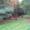
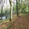
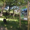
Galería de imágenes

Ruta da Ribeira do Ulla PR-G 93
Ruta da Ribeira do Ulla 2
Ruta da Ribeira do Ulla 3
Ruta da Ribeira do Ulla 5
Ruta da Ribeira do Ulla 4

Ruta da Ribeira do Ulla 6
Otras entradas