


- Accede I
- Regístrate I
- carrito
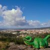
Santiago Natural
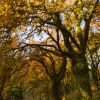
La relación del centro urbano de Santiago con el entorno natural es excepcional. Desde casi cualquier punto de la ciudad se abren perspectivas que descubren las verdes masas de arbolado de los parques urbanos, o los prados y bosques de los montes circundantes.
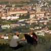
La ciudad se asienta entre tres montes principales –Pedroso, Viso y Gaiás- y se compone de pequeñas colinas. Todas estas elevaciones hacen de miradores naturales sobre el núcleo urbano y la omnipresente Catedral.
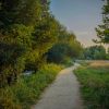
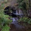
Dos pequeños ríos, Sar y Sarela, circundan la ciudad. Los senderos que discurren por sus riberas, otrora cubiertas de molinos fluviales y de tradicionales fábricas de curtidos, junto con los que recorren el parque forestal del monte Pedroso, y los montes Gaiás y Viso, conforman una red de agradables paseos naturales a los que se llega fácilmente andando desde el centro.
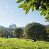
En cuanto a los parques y espacios verdes, habla por sí misma la superficie dedicada a ese uso: más de 5 millones de metros cuadrados -lo que supone una media de 50 m2 por habitante, superior al promedio europeo-, que hacen de Santiago una ciudad de gran calidad ambiental y paisajística con múltiples reconocimientos medioambientales.
Pero Santiago es mucho más que su núcleo urbano: la superficie municipal total es de 223 km2, que incluyen 21 parroquias rurales. Además, el municipio santiagués se integra en una comarca natural, regada por dos de los principales ríos gallegos, el Tambre y el Ulla -famosos por sus truchas, escalos y salmones-, muy aptos para la práctica de múltiples deportes de río, y con estupendas playas fluviales y áreas recreativas y senderos a menos de 15 minutos en coche de la ciudad.
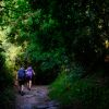
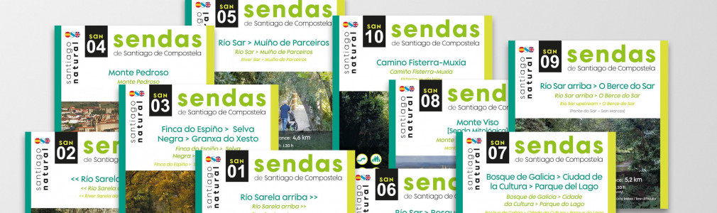
SENDAS RECOMENDADAS
Para que puedas hacerte una idea del atractivo natural de Santiago, aquí proponemos un catálogo de 10 sendas naturales accesibles andando desde el centro de la ciudad, de corta y media duración y poca o ninguna dificultad, pensadas para realizar en un par de horas o medio día como máximo y orientadas tanto a familias con peques, mascotas, personas con movilidad reducida, cicloturistas o senderistas más avezados.